A geotechnical survey is a key tool in engineering and construction projects, as it enables the ground to be characterised and the parameters required for the design of foundations and structures to be defined. One of the most common questions in construction projects is when a geotechnical survey is mandatory and in which cases it is necessary.
Below are the key points you should be aware of before starting a project.
When is a geotechnical survey required?
In most building and civil engineering projects, a geotechnical survey is an essential technical requirement. In the case of building construction, the Technical Building Code (CTE) stipulates that adequate geotechnical information must be available for the design of foundations.
In infrastructure and civil engineering, although there is not always an explicit regulatory requirement in exactly those terms, standard practice makes it essential to carry out a geotechnical survey to ensure the project’s viability and minimise risks associated with the ground.
Generally speaking, a geotechnical survey is considered mandatory when:
- Foundations or structures in contact with the ground are designed.
- There is earthworks, excavation or embankment work.
- The project requires an assessment of the stability or deformability of the ground.
- Geotechnical calculation parameters need to be defined for the design.
If you need to carry out a geotechnical survey for your project, please see our geotechnical survey service.
What types of projects require a geological or geotechnical survey?
A geological or geotechnical survey is required for most engineering projects. The most common types include:
- Residential, industrial or commercial buildings.
- Road and rail infrastructure.
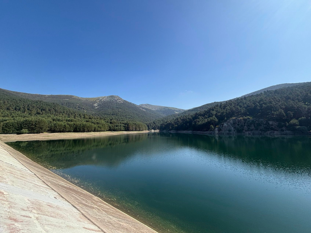
- Water infrastructure projects (water supply, sanitation, dams, reservoirs).
- Renewable energy projects (wind farms and solar power plants).
- Slope stabilisation works.
- Excavations, tunnels and underground structures.
In all these cases, knowledge of the terrain is essential to ensure safety and optimise the design.
Some of these projects can be viewed in our projects section.
How much does a geotechnical survey of a plot of land cost?
When a geotechnical investigation is required, the cost depends on a number of factors relating to the project and the characteristics of the site. There is no single price, as each geotechnical investigation is designed specifically for the project.
Generally speaking, the cost may vary depending on the number of boreholes, the depth of the investigation, the tests required and the complexity of the terrain.
Factors affecting the cost of a geotechnical survey
The main factors determining the price are:
- Type of project and technical requirements.
- Size and accessibility of the site.
- Number and depth of geotechnical boreholes.
- Type of on-site and laboratory tests required.
- Geological complexity of the terrain.
A properly planned geotechnical survey makes it possible to optimise costs without compromising the quality of the information obtained.
How much does a geotechnical test cost?
Where a geotechnical investigation is required, the cost varies depending on the type of test (SPT, CPT, pressuremeter, etc.) and the conditions under which it is carried out. These tests form part of the overall investigation and must be interpreted within the context of the comprehensive geotechnical study.
For this reason, it is advisable to assess the overall cost of the research rather than the cost of each individual trial.
How long does it take to carry out a geotechnical survey?
The timeframe for completing a geotechnical study depends on the scope of the investigation and the project conditions, particularly the geotechnical ground investigation programme. Generally speaking, the entire process can take anywhere from a few days to several weeks.
Planning and design of geotechnical investigations
In this initial phase, the scope of the study is defined in accordance with the project and the site. The fieldwork, the necessary tests and the depth of the investigation are established.
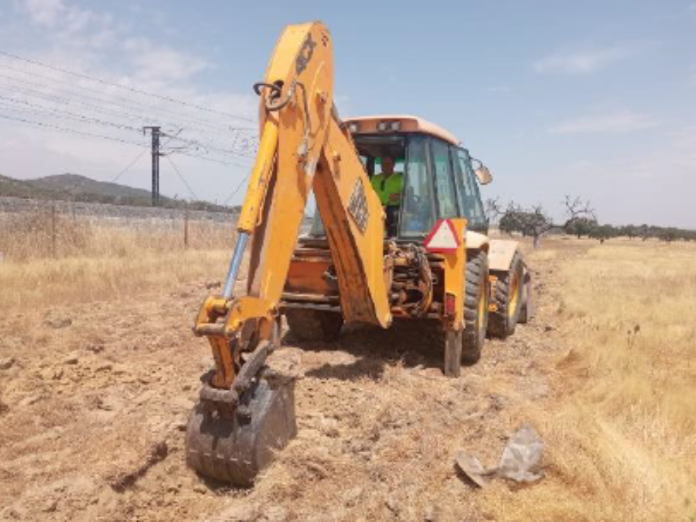
Fieldwork and geotechnical site investigation
Durante esta fase se ejecutan los sondeos, calicatas y ensayos in situ, mediante trabajos de campo especializados propios del fieldwork geológico y geotécnico. El reconocimiento geotécnico del terreno permite obtener muestras y registrar las características del subsuelo.
Laboratory tests and analysis of results
The samples obtained are analysed in the laboratory to determine the physical and mechanical properties of the materials. These results are essential for geotechnical calculations.
Preparation of the geotechnical report
Finally, all the information is compiled into a technical report that includes an analysis of the site, the calculation parameters and recommendations for the project design.
Who can carry out a geotechnical survey?
Where a geotechnical survey is required, this must be carried out by qualified technicians with experience in applied geology and geotechnics. Typically, geological engineers, geologists or engineers specialising in geotechnics are involved.
In addition to technical training, it is essential to have experience in field investigations and geotechnical interpretation to ensure the reliability of the results.
When should a geotechnical survey of the site be carried out?
Geotechnical investigations of the site must be carried out during the early stages of the project, before the final design of the structures is finalised.
In this way, the information obtained can be incorporated into the design process, making it possible to adapt construction solutions to the actual site conditions and reduce uncertainties during the execution of the works.
How long is a soil survey or geotechnical survey valid for?
The validity of a soil survey or geotechnical survey is not indefinite. It depends on factors such as:
- Changes in ground conditions.
- Changes to the project.
- Time elapsed since the investigation.
Whilst a geotechnical investigation is generally required, provided that neither the site conditions nor the scope of the project have changed, the investigation may remain valid for several years. However, it is advisable to review or update the geotechnical information where there is uncertainty or the project is modified.