Site investigation for engineering projects
Home » Geotechnical survey
Geotechnical surveys for subsoil analysis
The geotechnical survey comprises the investigative work required to characterise the subsoil and obtain the geological and geotechnical data that form the basis for the design of engineering and construction projects. Through boreholes, in-situ tests and laboratory analyses, the properties of the ground and the parameters required for geotechnical calculations are determined.
At GEOSERVIN, we design and supervise geotechnical campaigns tailored to the site conditions and the technical requirements of each project.
The aim of a geotechnical survey is to obtain reliable information on ground conditions in order to reduce uncertainties in the project design. Geotechnical investigation of the site enables the characterisation of the materials present, the assessment of their mechanical behaviour, and the identification of any geological or geotechnical factors that may affect the works.
The data obtained during the site investigation is used to determine key parameters for geotechnical calculations, such as bearing capacity, soil deformability and the stability of slopes and excavations. This information enables construction solutions to be tailored to the actual site conditions.
A geotechnical investigation incorporates various methods that enable a comprehensive characterisation of the ground. The choice of techniques depends on the type of project, the site geology and the objectives of the geotechnical investigation.
Geotechnical surveys are one of the main tools used in a geotechnical investigation of the ground. By drilling into the ground, soil or rock samples are obtained and the stratigraphic characteristics of the subsoil are recorded.
During the drilling work, various tests and measurements can also be carried out to determine the properties of the ground and obtain key information for the development of the geotechnical model.
In-situ tests are carried out directly on site during the geotechnical investigation and enable the behaviour of the soil to be assessed under natural conditions. The most common types include penetration tests, pressuremeter tests and load tests.
These tests supplement the information obtained from boreholes and help to characterise the geotechnical properties of the subsoil with greater precision.
The samples obtained are analysed in the laboratory to determine the physical and mechanical properties of the soils and rocks.
These tests enable the determination of geotechnical parameters such as strength, plasticity and compressibility, which are necessary for the calculation and design of construction solutions.
The geotechnical survey of the site is carried out using a structured methodology that combines planning, fieldwork and technical analysis.
Firstly, the scope of the geotechnical investigation of the site is defined based on the type of project, the geological conditions of the site and the objectives of the study. Following this phase, the geotechnical programme is designed, establishing the location of the boreholes, the planned tests and the depth of investigation.
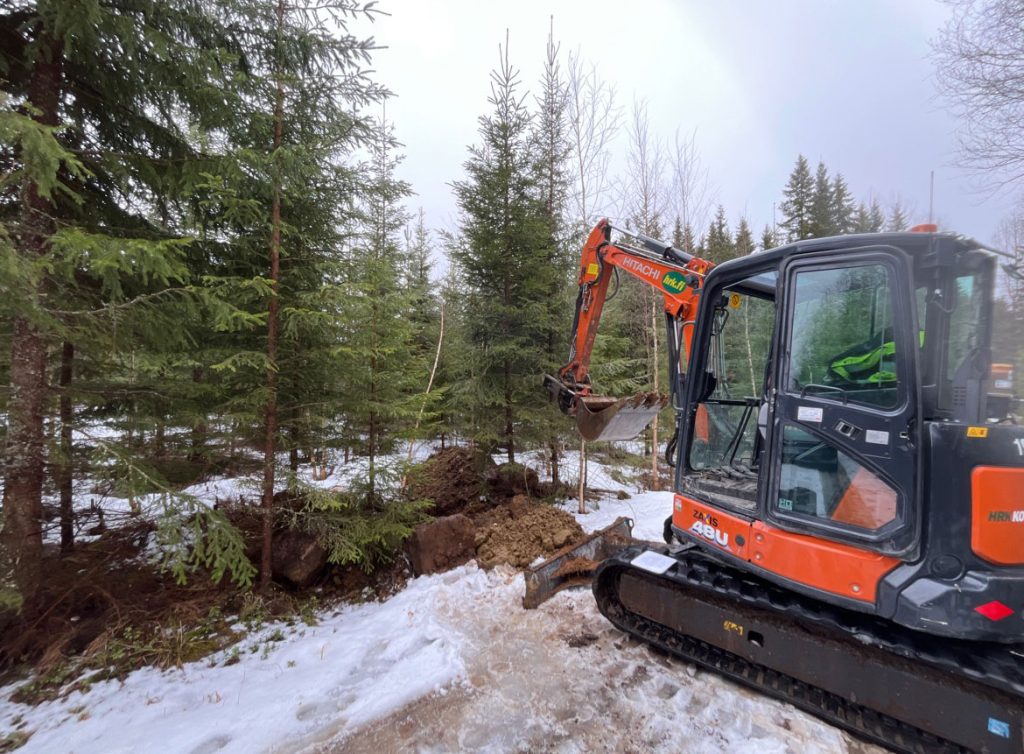
The next phase involves the carrying out of fieldwork, during which the planned surveys, test pits and in-situ tests are conducted. During this stage, samples are taken from the ground and the geological and geotechnical characteristics of the subsoil are recorded.
Finally, the data obtained during the geotechnical investigation is analysed and interpreted to develop a geotechnical model of the site. This model enables the calculation parameters to be defined and technical recommendations to be established for the design of the project.
In civil engineering projects, a precise understanding of ground conditions is a key factor in ensuring the safety and feasibility of construction solutions. A proper geotechnical investigation helps to reduce the degree of uncertainty associated with the subsoil and improve the reliability of the design.
The data obtained during the geotechnical survey facilitate the identification of potential geological or geotechnical factors that may affect the project, such as changes in rock type, the presence of groundwater or materials with low strength.
Thanks to this information, engineering teams can adjust the design of foundations, plan for ground treatment or define construction solutions tailored to the actual site conditions.
At GEOSERVIN, we provide specialist support to engineering firms, consultancy firms and construction companies in the design and supervision of geotechnical surveys for civil engineering and infrastructure projects. Our work combines site investigation, geological and geotechnical analysis, and on-site experience to provide reliable data and sound technical criteria for project development.
We work closely with the engineering teams, providing relevant and useful information for the design and planning of the project.
If you need to plan or oversee a geotechnical survey for your project, our team can help you assess the ground conditions and determine the most appropriate investigation.
A geotechnical survey is the set of investigations carried out on the ground to characterise the geological and geotechnical conditions of the subsoil at a specific site. It includes boreholes, in-situ tests and laboratory analyses that provide the information required for the design of an engineering project.
This is usually carried out during the early stages of the project, before the final structural design is finalised. In this way, the information obtained during the site investigation can be incorporated into the process of designing and planning the works.
During a geotechnical investigation, various tests may be carried out depending on the type of ground and the objectives of the study. Among the most common are penetration tests, pressuremeter tests, laboratory tests for soil characterisation, and analyses of mechanical properties.

It provides information on the structure of the subsoil, the mechanical properties of the materials present, and any potential geological or geotechnical factors that may affect the project. This data enables the definition of calculation parameters and the formulation of technical recommendations for the design of foundations and other construction solutions.